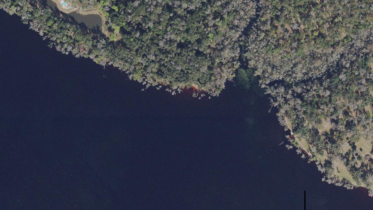
Shee Beach
Lake beach in Florida, no facilities mapped within walking distance.
- HoursNot on file
- ParkingNone mapped within 1,310 ft
- DirectionsGoogle Maps
- Sunset
- 7:37 pmover land
- Parking
- None mapped
- Families
- Limited
Today, Thursday, Sep 10
Fair beach day
Light wind. Watch: 51% rain chance.
- High
- 90 F
- Wind
- 3 mphup to 10 mph
- Rain chance
- 51%
- UV index
- 6high
- Sun
- 7:08 am to 7:37 pm
- 8:00 am · best78 Fclear, 1% rain, 2 mph
- 11:00 am85 Fclear, 6% rain, 4 mph
- 2:00 pm89 Fovercast, 18% rain, 4 mph
- 5:00 pm89 Fpartly cloudy, 51% rain, 6 mph
Great for
- FamiliesLimitedNo bathrooms mapped
- ConvenienceLimitedNo parking mapped, no food mapped
How the Beach Score is calculated: 2.5 of 10
The score is the sum of the components below. Clear water counts only where a clarity source exists. Rankings never take revenue as an input.
| Component | Points | Fact |
|---|---|---|
| Facilities | 0.0 of 3 | No parking, bathrooms, restaurants, or lifeguards mapped within walking distance. |
Amenities
- ParkingNo
- Free parkingNo
- BathroomsNo
- ShowersNo
- Restaurants and barsNo
- Beachfront hotelsNo
- Hotels nearbyNo
- Beachfront campingNo
- Camping nearbyNo
- PierNo
- BoardwalkNo
Hours, fees, and rules
Hours and fees are not on file yet. No operator page found yet.
- Address
- Slip Cove, Saint Johns County, FL
Planning a trip
Early October is usually warm, with some rainy days.
- High
- 80 FWarm
- Rainy day
- 32%Some rain
What to expect
- Some rainy days in October (8 a month)
- October is within Atlantic hurricane season, at its peak
Atlantic hurricane season runs June 1 to November 30, peak from mid-August to late October. Storm history near this beach
3 October storms within 62.1 mi since 1980, about one every 15 years, 1 at hurricane strength. Most recent in any month: Tropical Storm Eta, November 2020, 25.5 mi away. Source: NOAA HURDAT2 best tracks, counted at tropical storm strength or stronger. Season dates from the NOAA National Hurricane Center.
Shee Beach through the year
| Measure | ||||||||||||
|---|---|---|---|---|---|---|---|---|---|---|---|---|
| Warm water | no data | no data | no data | no data | no data | no data | no data | no data | no data | no data | no data | no data |
| Low rain | Jan: 7 rainy days | Feb: 5 rainy days | Mar: 9 rainy days | Apr: 7 rainy days | May: 10 rainy days | Jun: 19 rainy days | Jul: 22 rainy days | Aug: 24 rainy days | Sep: 18 rainy days | Oct: 8 rainy days | Nov: 6 rainy days | Dec: 6 rainy days |
| Calm water | no data | no data | no data | no data | no data | no data | no data | no data | no data | no data | no data | no data |
When to go
- Best overallFebruary to Aprilfewer rainy days · warm days
- DriestFebruary5 rainy days a month
All monthly averages, 2023-2025
| Month | Sea temp | Air max | Rain days | Wave height |
|---|---|---|---|---|
| Jan | n/a | 65 F (18 C) | 7 | n/a |
| Feb | n/a | 72 F (22 C) | 5 | n/a |
| Mar | n/a | 75 F (24 C) | 9 | n/a |
| Apr | n/a | 80 F (27 C) | 7 | n/a |
| May | n/a | 86 F (30 C) | 10 | n/a |
| Jun | n/a | 89 F (32 C) | 19 | n/a |
| Jul | n/a | 92 F (33 C) | 22 | n/a |
| Aug | n/a | 90 F (32 C) | 24 | n/a |
| Sep | n/a | 85 F (30 C) | 18 | n/a |
| Oct | n/a | 79 F (26 C) | 8 | n/a |
| Nov | n/a | 74 F (24 C) | 6 | n/a |
| Dec | n/a | 68 F (20 C) | 6 | n/a |
Explore Shee Beach
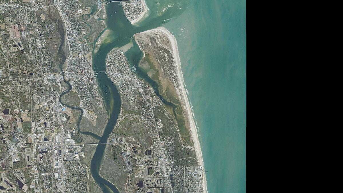
Parking, food, stays, and facilities around the beach, mapped in OpenStreetMap within 0.7 mi.
All places near Shee Beach as a list (0)
- Nothing of this kind is mapped within the radius.
Nearby beaches
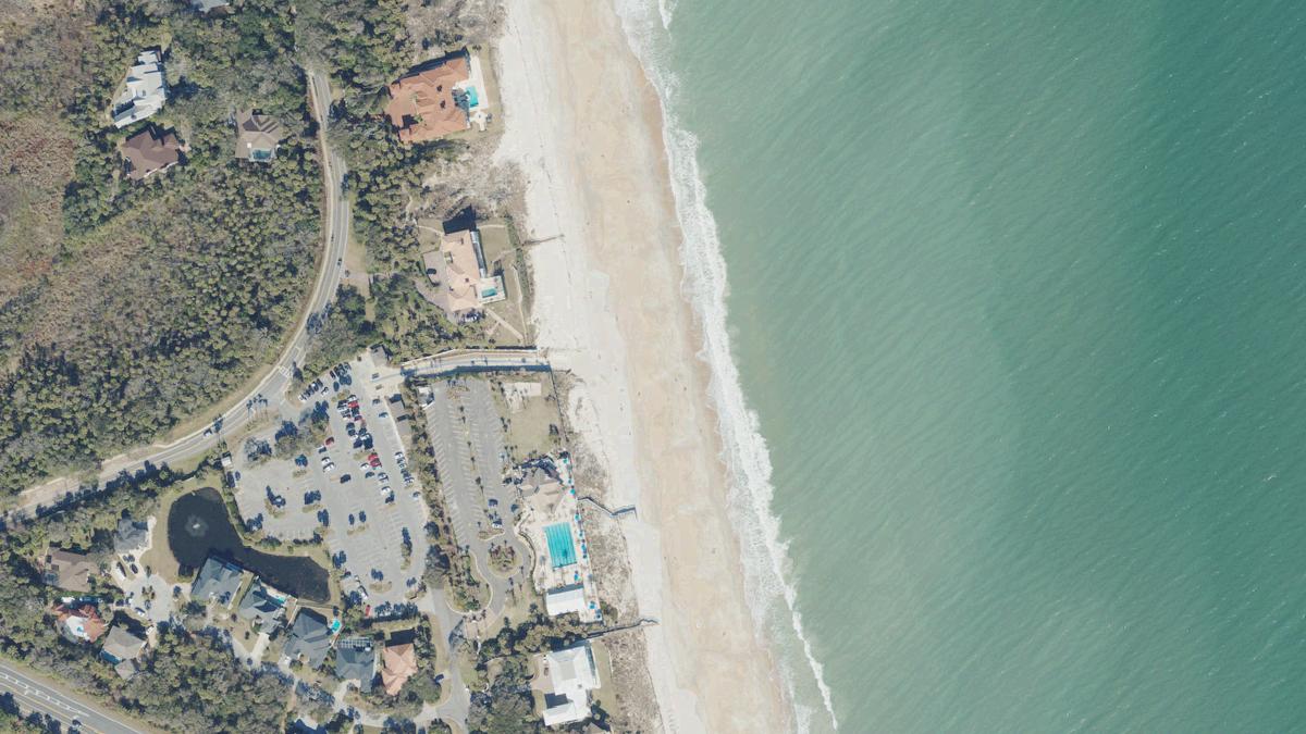
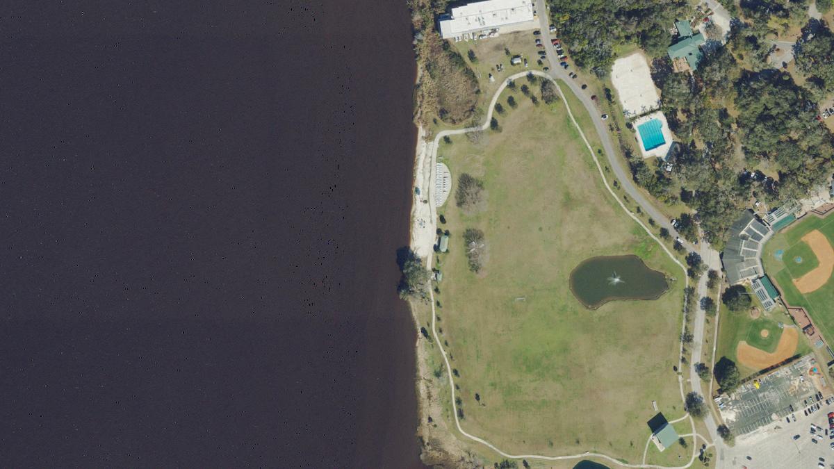
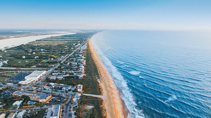
Questions about Shee Beach
Is there parking at Shee Beach?
No mapped parking within 1,310 ft of the beach in OpenStreetMap.
When is hurricane season at Shee Beach?
Atlantic hurricane season runs June 1 to November 30, with the peak from mid-August to late October, per the NOAA National Hurricane Center. Since 1980, 15 named storms passed within 62.1 mi of the beach, 2 at hurricane strength, most in June, August and September. Source: NOAA HURDAT2 best tracks.
Sources
- © OpenStreetMap contributors
- Weather data by Open-Meteo.com
- Storm tracks from the NOAA National Hurricane Center HURDAT2 archive, public domain
Licenses and refresh dates for every dataset are on the data page. Something wrong? Every beach page has a report button; corrections are logged with a date.
© OpenStreetMap contributors. Beach location, shoreline, and amenity positions are from OpenStreetMap under the ODbL. Data updated Sep 10, 2026.